
Module 03: Les vacances
Quatrième Partie: L’Hexagone et les destinations francophones, les exercices
Exercice 1. La carte de France- Première Partie (A)
In this exercise, you’ll continue adding to the map that you labeled with the cardinal points earlier in this module.
- Label the map with the names of oceans and countries in French.
Ex: atlantic ocean = l’océan atlantique- Be creative and have fun in the process.
- Use web based resources/atlas as needed.
- Upload your map onto google classroom by either taking a photo and uploading it, or scanning your map.
Exercice 2. La carte de France- Deuxième Partie (B)
In this exercise, you’ll continue adding to the map that you labeled with the cardinal points earlier in this module.
- Use the same map you previously submitted with oceans/bordering countries.
Ex: Brittany = la Bretagne- Label the map of France with the regions you learned about in class.
- Make sure your labeling is all in French
- Upload your map onto google classroom under the appropriate Google classwork assignment.
Exercice 3. Le Québec
Exercice 4. La francophonie
Here’s a map of the member states and countries of the Organisation internationale de la Francophonie.

Exercice 5. The Center for Global Studies

The Center for Global Education is running a contest. They want to add another French-speaking destination to their study abroad program for the Fall semester.
You will create a two slide presentation about a French speaking country or region of your choice. The destination cannot be France! Your two slide presentation will be used to try to convince the Center for Global Education to add the destination to their program.
Examples of francophone destinations could be: Le Sénégal, Le Maroc, La Suisse, La Nouvelle-Calédonie etc…
Your presentation must include:
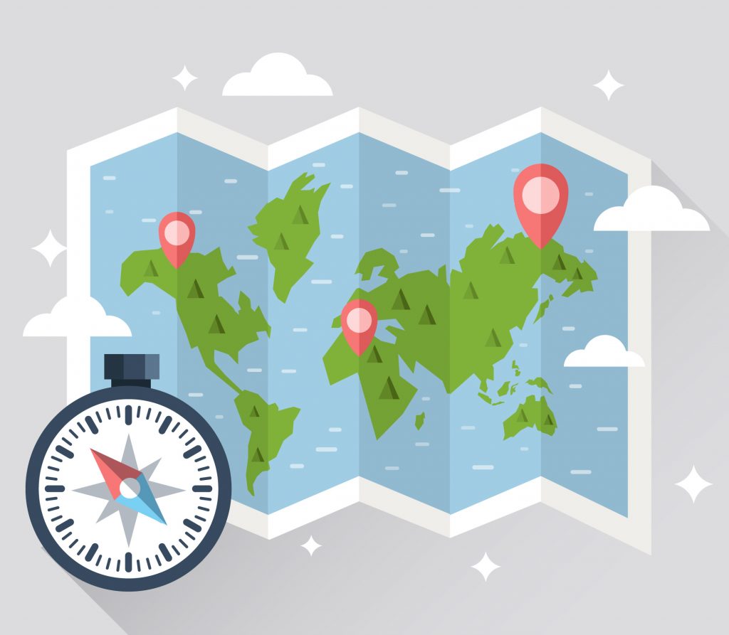
- A map of the location – be ready to talk about the location if you are asked to present in class. What continent is it on, What country is located to the N/S/E/W .
- The weather (in the fall) and geography: does it have oceans/sea/rivers/ mountains etc…
- Highlight 5 activities you can do there.
Make it fun, make it pretty – remember, this is a contest!
How do I submit?
After creating your Google Slides, turn in your presentation via your regular homework submission (canvas, google classroom, etc).
